The term “waterway” refers to navigable rivers and canals designed to be used mainly by inland waterway crafts. Many of the available options are likely unknown to most of us. Yet, with their unique beauty, history, and charm, they offer a great playground as well as a means to transport boats inland or across different seas, thus avoiding difficult seas or even providing shortcuts. Although most waterways require very shallow drafted vessels with a small air draft (vertical clearance), many vessels (sail and motor) still fulfil those requirements due to their relatively small size. Regarding sailboats, the mast is often the biggest obstacle, as most drafts can be accommodated in the majority of waterways. However, the huge air draft of the mast can be a significant issue, which in most cases requires the mast to be removed and either laid on deck or transported otherwise to the destination. It’s clear from the above that waterways can also pose numerous logistical challenges, such as bridges and locks, with relevant information often confusing and difficult to obtain.
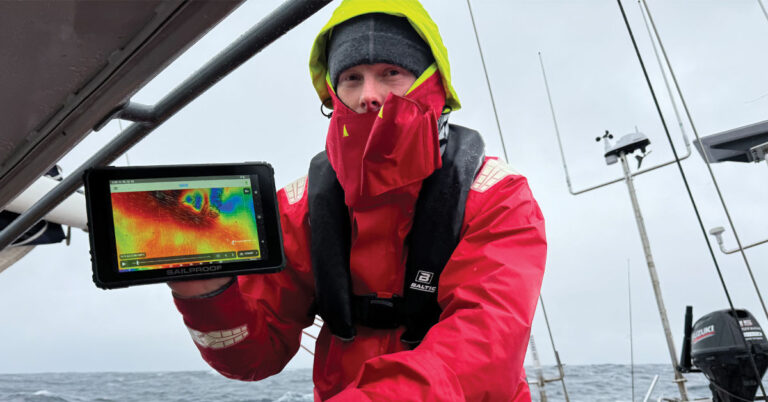
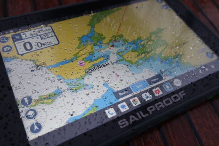
Luckily, applications have caught up to the most popular waterways, providing the information every navigator needs in a straightforward format on your SailProof tablet. In this article, we will list the most used waterways, along with some of the applications that will best support your passage through them.

US WATERWAYS
The US is perhaps most famous for its ICW. The Intracoastal Waterway (ICW) is a ~2,600 nautical mile-long inland waterway along the Atlantic and Gulf of Mexico coasts of the United States, running from Massachusetts southward along the Atlantic Seaboard and around the southern tip of Florida, following the Gulf Coast to Brownsville, Texas. Some sections of the waterway consist of natural inlets, saltwater rivers, bays, and sounds, while others are artificial canals. It provides a navigable route along its length without many of the hazards of travel on open sea [1]. Apart from the ICW, the US has about 20,000nm of navigable water, with the Mississippi River delta being the main part and the Colombia River system providing the only waterway on the west side of the US.
Websites
Waterway Guide
Yachtingworld article
Crusingworld article
Noonsite info
Apps
–AquaMap : Active Captain and Waterway Guide community integration.
–Waterwayguide
–Savvy Navvy
–NoForeignLand
–Navily
Books
The Intracoastal Waterway, Norfolk to Miami: The Complete Cockpit Cruising Guide

EUROPEAN WATERWAYS
The European mainland offers around 30,000 kilometres of navigable rivers and canals for inland watercraft, although not all are suited for deeper draft vessels or recreational use. Most of these inland waterways are found in France, Germany, and the Netherlands, with some spanning through numerous countries across Europe to the Mediterranean and the Black Sea.
France
France boasts some of the most scenic, practical, and well-known waterways in Europe, offering a ‘shortcut’ from the Atlantic to the Mediterranean, thus avoiding the treacherous North Atlantic with the boisterous Bay of Biscay and the long sails along its exposed coasts, which are lately also guarded by restless orcas. The channels, however, are no easy undertaking, as the boat requires its mast to be unstepped and transported either on board or by other means to the destination. Floods or droughts can pose additional risks or even make navigation impossible, while hundreds of locks, traffic considerations, maintenance, and regulation requirements demand careful planning and practical skills. But in managing all the above, you will be rewarded with calm waters and transit through picturesque towns and regions with your floating home. Below, we have included some useful websites and apps to help you research, plan, and execute your adventure through the waterways of France.
Websites
Eurocanals
Noonsite
French waterways
Vnf
Apps
–Waterkaarten
–NoForeignLand
–Navily
Germany
The waterways of Germany are primarily formed by three major rivers: the Rhine, the Danube, and the Elbe. These rivers are interconnected by an extensive network of canals in the north and by the Main River and the Rhine-Main-Danube Canal in the south. Additionally, the lake regions of Mecklenburg and Brandenburg, near Berlin, are popular for boaters. German waterways extend into neighbouring countries such as the Netherlands, Austria, Poland, the Czech Republic, and France, allowing extending their journey to the Mediterranean or the Baltic Sea. For further information on navigating the German waterways, please see below.
Websites
Apps
–Water Map Live
–Waterkaarten
–NoForeignLand
–Navily
Netherlands
The Netherlands boasts two exceptional cruising areas. First, the Heart of Holland, featuring rivers and lakes within the Amsterdam, Rotterdam, and Utrecht triangle. Then, the lake region of Friesland in the north. These areas are bound together by Europe’s densest network of waterways, linking them to all major cities and towns. Among sailors, the Standing Mast Route (Staande Mast), also known as the Amsterdam-Willemstad route, is perhaps the most renowned waterway in the Netherlands. Stretching approximately 114 km, it includes three sets of locks and forty movable bridges. As the name already suggests, air draft is generally not an issue for most small and medium-sized sailboats, allowing them to navigate with a standing mast. For further information on navigating the Dutch waterways, please see below.
Websites
Eurocanals
Varendoeejesamen
Noonsite
Apps
–Vaarkaart Nederland
–NV Chart App
–Water Map Live
–Waterkaarten
–NoForeignLand
–Navily

WATERWAYS IN THE UNITED KINGDOM
There were once 7,000 miles of canals and navigable rivers in mainland Britain. Today 5,000 are navigable, with 2,700 miles forming the connected waterways system of England and Wales. Not all of these are suitable for deeper-drafted vessels or sailboats with masts. However, there are still numerous deep rivers, including the Yealm, the Clyde, the Thames, the River Medina on the Isle of Wight, the River Orwell, and the River Dart. Scotland offers the Crinan Canal and the popular Caledonian Canal, which takes you straight through Scotland via the famous Loch Ness. For further information on navigating the waterways in the United Kingdom, please refer to the details provided below.
Websites
Waterways
UK waterwaysguide
Waterwaysworld
Guidance for Inland waterways and categorisation of waters
Scottish canals Caledonian canal
Sailingtoday – Six best British rivers for sailing
Apps
–Open Canal Map
–Waterkaarten
–NoForeignLand
–Navily
In conclusion, navigating the waterways of Europe, the United Kingdom, and the United States offers sailors a blend of practicality and scenic wonders. From France’s intricate canals to the interconnected waterways of Germany and the iconic routes of the Netherlands, each region presents unique challenges and rewards. Modern tools such as weather routing and Grib files enhance safety and efficiency, ensuring a fulfilling journey through these historic and picturesque routes. And let’s not forget the benefits of freshwater navigation—no barnacles! Happy sailing!


